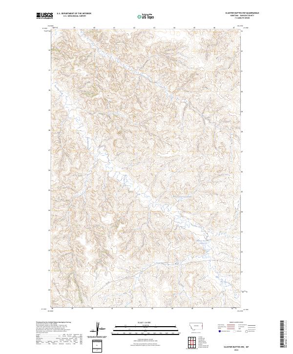
2024 Map of Cluster Buttes NW
USGS Topo · Published 2024About this map
Box Elder Creek meanders through the heart of this Dawson County landscape, where the terrain is defined by the intricate drainages and ridges typical of eastern Montana's high plains. The water management on this land is centered around the Milliron Reservoir Number 1 and Milliron Reservoir Number 2, which provide essential catchments in a region where seasonal runoff is critical for agriculture and livestock.
Find a feature on this map
9 named features on this map. Tap any name to fly to it.
Don’t see what you’re looking for? This feature index may not catch every label — zoom into the map to look around manually.
Map Details
Editions of this 2024 Cluster Buttes NW Map
This is the sole edition of this map. No revisions or reprints were ever made.
Other maps of this area

1909 · Glendive
USGS Topo · 1:250,000

1954 · Glendive
USGS Topo · 1:250,000

1957 · Glendive
USGS Topo · 1:250,000

1958 · Glendive
USGS Topo · 1:250,000

1966 · Savage SE
USGS Topo · 1:24,000

1966 · Savage SW
USGS Topo · 1:24,000

1966 · Intake
USGS Topo · 1:24,000

1967 · Allard
USGS Topo · 1:24,000

1967 · Belle Prairie
USGS Topo · 1:24,000

1981 · Glendive
USGS Topo · 1:100,000