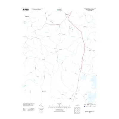
2013 Map of Cluster Springs
USGS Topo · Published 2013About this map
Hyco River and its various tributaries, including Little Coleman Cr and Bowes Br, define the drainage patterns of this border region between Virginia and North Carolina in the early 21st century. The landscape is dotted with small rural communities such as Denniston, Harmony, and Rogersville, connected by a network of local roads and trails like Cluster Ridge Trl and Traynham Grove Rd. To the east, the sprawling Mayo Reservoir provides a significant water feature, while the presence of Vaughan Airport near the center and Blanes Millpond in the northwest corner highlights the mixed infrastructure of the era. The mapping of named trails such as Conner Evans Trl and Pigeon Trl indicates a geography where historical paths and family-named routes remain integral to the local transit system alongside primary highways.
Find a feature on this map
74 named features on this map. Tap any name to fly to it.
Don’t see what you’re looking for? This feature index may not catch every label — zoom into the map to look around manually.
Map Details
Editions of this 2013 Cluster Springs Map
This is the sole edition of this map. No revisions or reprints were ever made.
Other maps of this area

1943 · Roxboro
USGS Topo · 1:62,500

1952 · Milton
USGS Topo · 1:62,500

1953 · South Boston
USGS Topo · 1:62,500

1953 · Greensboro
USGS Topo · 1:250,000

1954 · Greensboro
USGS Topo · 1:250,000

1956 · Milton
USGS Topo · 1:62,500

1957 · South Boston
USGS Topo · 1:62,500

1962 · Greensboro
USGS Topo · 1:250,000

1966 · Greensboro
USGS Topo · 1:250,000
1968 · Alton
USGS Topo · 1:24,000