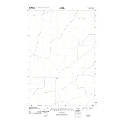
2011 Map of Clyde
USGS Topo · Published 2011About this map
Clyde and its surrounding agricultural landscape appear here in the early 21st century, defined by a sparse network of county roads and isolated settlements. The map illustrates a region dominated by large-scale farming and dryland cultivation, where historical place names like Reser, Pickard, and Harvey persist despite the limited density of modern development. This corner of Walla Walla County is tied together by arterial routes such as Lyons Ferry Rd and Lower Monumental Rd, which connect these small rural hubs to the broader geographic region. The layout of Babcock Rd and Mcfeeley Rd suggests a land-use pattern dictated by the undulating topography and the requirements of Pacific Northwest grain or cattle operations.
Find a feature on this map
13 named features on this map. Tap any name to fly to it.
Don’t see what you’re looking for? This feature index may not catch every label — zoom into the map to look around manually.
Map Details
Editions of this 2011 Clyde Map
This is the sole edition of this map. No revisions or reprints were ever made.
Other maps of this area

1915 · Wallulah
USGS Topo · 1:96,000

1916 · Connell
USGS Topo · 1:125,000

1918 · Connell
USGS Topo · 1:125,000

1918 · Wallula
USGS Topo · 1:125,000

1919 · Walla Walla
USGS Topo · 1:125,000

1921 · Walla Walla
USGS Topo · 1:125,000

1948 · Ayer
USGS Topo · 1:62,500

1950 · Haas
USGS Topo · 1:62,500

1953 · Walla Walla
USGS Topo · 1:250,000

1958 · Walla Walla
USGS Topo · 1:250,000