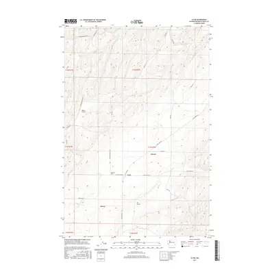
2017 Map of Clyde
USGS Topo · Published 2017About this map
Eureka Flat dominates the central landscape of this Walla Walla County survey, characterized by the expansive undulating terrain typical of the region's dryland farming heritage. The small settlement of Clyde serves as a local focal point, situated at the junction of Lyon's Ferry Rd and Smith Springs Rd. This area reflects a late-period agricultural layout where long-established road networks like Babcock Rd and Harsell Rd delineate the section lines of the Public Land Survey System.
Find a feature on this map
25 named features on this map. Tap any name to fly to it.
Don’t see what you’re looking for? This feature index may not catch every label — zoom into the map to look around manually.
Map Details
Editions of this 2017 Clyde Map
This is the sole edition of this map. No revisions or reprints were ever made.
Other maps of this area

1915 · Wallulah
USGS Topo · 1:96,000

1916 · Connell
USGS Topo · 1:125,000

1918 · Connell
USGS Topo · 1:125,000

1918 · Wallula
USGS Topo · 1:125,000

1919 · Walla Walla
USGS Topo · 1:125,000

1921 · Walla Walla
USGS Topo · 1:125,000

1948 · Ayer
USGS Topo · 1:62,500

1950 · Haas
USGS Topo · 1:62,500

1953 · Walla Walla
USGS Topo · 1:250,000

1958 · Walla Walla
USGS Topo · 1:250,000