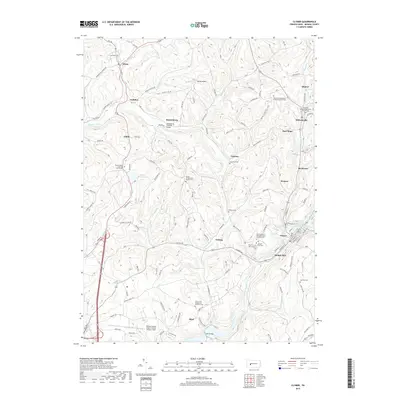
2019 Map of Clymer
USGS Topo · Published 2019About this map
Crooked Creek and Two Lick Creek wind through this part of Indiana County, anchoring a landscape dotted with small hamlets and numerous country cemeteries. The area is defined by its deep cultural and spiritual roots, evidenced by several denominational burial grounds including Saint Michael's Orthodox Greek Catholic Cem and the Rayne Presbyterian Church Cem. In the village of Kintersburg, the Kintersburg Covered Bridge stands as a local landmark spanning the creek.
Find a feature on this map
116 named features on this map. Tap any name to fly to it.
Don’t see what you’re looking for? This feature index may not catch every label — zoom into the map to look around manually.
Map Details
Editions of this 2019 Clymer Map
This is the sole edition of this map. No revisions or reprints were ever made.
Other maps of this area

1902 · Indiana
USGS Topo · 1:62,500

1902 · Barnesboro
USGS Topo · 1:62,500

1904 · Barnesboro
USGS Topo · 1:62,500

1906 · Punxsutawney
USGS Topo · 1:62,500

1909 · Smicksburg
USGS Topo · 1:62,500

1938 · Smicksburg
USGS Topo · 1:62,500

1939 · Smicksburg
USGS Topo · 1:62,500

1939 · Punxsutawney
USGS Topo · 1:62,500

1942 · Punxsutawney
USGS Topo · 1:62,500

1943 · Punxsutawney
USGS Topo · 1:125,000
Featured Places
- Rayne Township, PA
- Clymer, PA
- Dixonville, Green Township
- Weimer, Cherryhill Township
- Gaiblton, Rayne Township