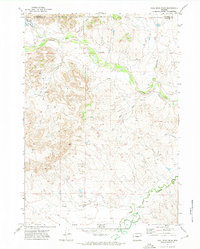
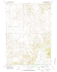
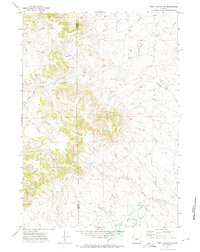
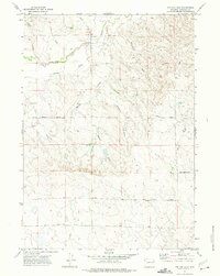
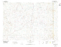
1971 Map of Coal Bank Draw
USGS Topo · Published 1974About this map
Irene Hills dominate the western landscape of this Wyoming interior, situated across the boundary between Campbell and Converse counties. The drainage network is particularly dense here, with Antelope Creek flowing eastward through the north while the Cheyenne River and its tributary, Dry Fork, cut across the southeastern corner. This early 1970s survey captures the region's ranching and industrial infrastructure, notably the Irwin Ranch and the primary thoroughfare of Irwin Road. Evidence of resource exploration is scattered throughout the drainages, documented by several Drill Hole and Oil Well locations. Water management is visible at the Porcupine Reservoir and various points along Woody Creek and Coal Bank Draw, including a specific Flowing Well that highlights the essential nature of water rights in this arid environment.
Find a feature on this map
19 named features on this map. Tap any name to fly to it.
Don’t see what you’re looking for? This feature index may not catch every label — zoom into the map to look around manually.
Map Details
Editions of this 1971 Coal Bank Draw Map
This is the sole edition of this map. No revisions or reprints were ever made.
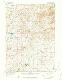
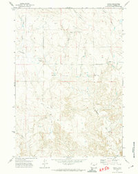
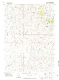
Other maps of this area

1955 · Newcastle
USGS Topo · 1:250,000

1958 · Newcastle
USGS Topo · 1:250,000
1959 · Betty Reservoir
USGS Topo · 1:62,500

1971 · Fiddleback Ranch
USGS Topo · 1:24,000
1971 · Teckla
USGS Topo · 1:24,000
1971 · Esau Spring
USGS Topo · 1:24,000
1971 · Piney Canyon SW
USGS Topo · 1:24,000
1971 · Piney Canyon SE
USGS Topo · 1:24,000
1971 · Tin Can Lake
USGS Topo · 1:24,000
1974 · Reno Junction
USGS Topo · 1:100,000