
1959 Map of Betty Reservoir
USGS Topo · Published 1961About this map
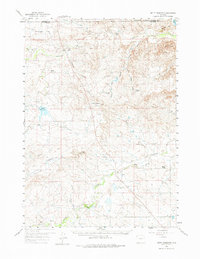
Antelope Flat and the surrounding high plains of Converse County are defined here by a network of ranching homesteads and seasonal water management in the late 1950s. The landscape is marked by the presence of numerous family-held properties such as the Jacobs Ranch, Haefele Ranch, and Morton Ranch, illustrating the rural settlement pattern of the period. Of particular interest to local historians is the location of Old Verse (Site) near the more contemporary Verse settlement, indicating a shift in local activity over time.
Find a feature on this map
39 named features on this map. Tap any name to fly to it.
Don’t see what you’re looking for? This feature index may not catch every label — zoom into the map to look around manually.
Map Details
Editions of this 1959 Betty Reservoir Map
2 editions found
Other maps of this area

1955 · Newcastle
USGS Topo · 1:250,000

1958 · Newcastle
USGS Topo · 1:250,000

1959 · Bill
USGS Topo · 1:62,500

1959 · Coal Draw
USGS Topo · 1:62,500
1959 · Highland Flats
USGS Topo · 1:62,500

1960 · Turnercrest
USGS Topo · 1:62,500

1970 · Bill 4 NW
USGS Topo · 1:24,000

1971 · Coal Bank Draw
USGS Topo · 1:24,000

1971 · Teckla
USGS Topo · 1:24,000

1971 · Piney Canyon SW
USGS Topo · 1:24,000