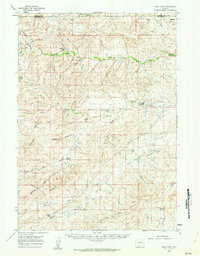
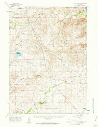
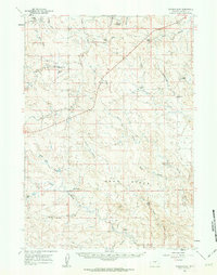
1959 Map of Coal Draw
USGS Topo · Published 1962About this map
Ranching life across the high plains of the Campbell and Converse County line is documented here in detail. The landscape is defined by its water sources, where family operations like the Fred Taylor Ranch and Spracklin Ranch established themselves along vital drainages. The map reveals the vital importance of irrigation and water management in this arid environment, specifically through the Betty Supply Ditch and the Reynolds Reservoir in the southeast. Education in these isolated ranching communities was centered at the Ditta Sch, a lonely landmark in a territory otherwise marked only by wide-set homesteads and winding creeks. From the Antelope Flat in the north to the North Fork Cheyenne River at the southern edge, the topography shows a complex network of draws and gulches, including the aptly named Stinking Water Creek and Calamity Gulch.
Find a feature on this map
28 named features on this map. Tap any name to fly to it.
Don’t see what you’re looking for? This feature index may not catch every label — zoom into the map to look around manually.
Map Details
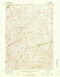
Editions of this 1959 Coal Draw Map
2 editions found
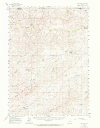
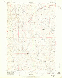
Other maps of this area
1954 · Pine Tree
USGS Topo · 1:24,000

1955 · Newcastle
USGS Topo · 1:250,000

1958 · Newcastle
USGS Topo · 1:250,000
1959 · Bill
USGS Topo · 1:62,500
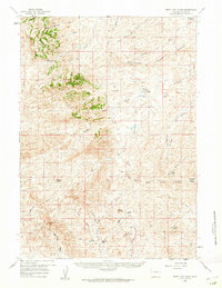
1959 · Betty Reservoir
USGS Topo · 1:62,500
1959 · Fifty-Five Ranch
USGS Topo · 1:62,500
1959 · Highland Flats
USGS Topo · 1:62,500
1960 · Ross
USGS Topo · 1:62,500
1960 · Turnercrest
USGS Topo · 1:62,500
1971 · Teckla SW
USGS Topo · 1:24,000