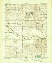
1948 Map of Coal City
USGS Topo · Published 1948About this map
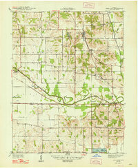
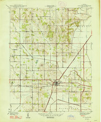
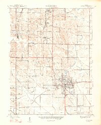
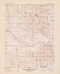
Coal mines and small settlements define this landscape along the border of Owen, Clay, and Greene Counties. The New York Central railroad provides the primary north-south artery through Coal City and Daggett, serving the regional mining industry that is visible in the scattered workings throughout the hills. In the southern portion of the map, the Eel River and its associated Ditch network dominate the lowlands, reflecting an era of intensive land reclamation for agriculture.
Find a feature on this map
49 named features on this map. Tap any name to fly to it.
Don’t see what you’re looking for? This feature index may not catch every label — zoom into the map to look around manually.
Map Details
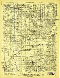
Editions of this 1948 Coal City Map
2 editions found
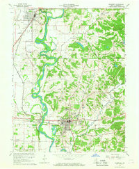
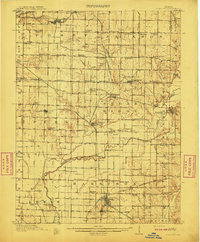
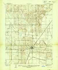
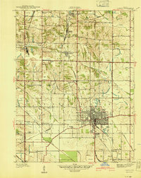
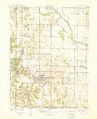
Other maps of this area
1908 · Clay City
USGS Topo · 1:48,000
1908 · Bloomfield
USGS Topo · 1:62,500
1910 · Clay City
USGS Topo · 1:62,500
1938 · Coal City
USGS Topo · 1:24,000
1938 · Switz City
USGS Topo · 1:24,000
1940 · Linton
USGS Topo · 1:24,000
1940 · Jasonville
USGS Topo · 1:24,000
1947 · Switz City
USGS Topo · 1:24,000
1947 · Linton
USGS Topo · 1:24,000
1948 · Coal City
USGS Topo · 1:24,000