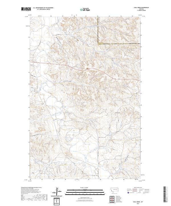
2024 Map of Coal Creek
USGS Topo · Published 2024About this map
White Buttes and Hook Rock rise above a landscape defined by an intricate network of drainage systems in this modern survey of the Montana high plains. The terrain is deeply incised by Numerous coulees, including the evocative Calamity Coulee, Wilkinson Coulee, and Norwegian Coulee. These features highlight the erosive power of seasonal water across the Garfield and McCone county line, where large drainages like Big Dry Creek and the North Prong Coal Creek converge.
Find a feature on this map
23 named features on this map. Tap any name to fly to it.
Don’t see what you’re looking for? This feature index may not catch every label — zoom into the map to look around manually.
Map Details
Editions of this 2024 Coal Creek Map
This is the sole edition of this map. No revisions or reprints were ever made.
Other maps of this area

1954 · Jordan
USGS Topo · 1:250,000

1956 · Jordan
USGS Topo · 1:250,000

1958 · Jordan
USGS Topo · 1:250,000

1964 · Jordan
USGS Topo · 1:250,000

1965 · Whiteside Ranch
USGS Topo · 1:24,000

1965 · Hedstrom Lake NW
USGS Topo · 1:24,000

1965 · Hafla School
USGS Topo · 1:24,000

1967 · Hagen Gap
USGS Topo · 1:24,000
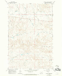
1967 · Maxwell Coulee
USGS Topo · 1:24,000

1967 · Coal Creek
USGS Topo · 1:24,000