
1965 Map of Hedstrom Lake NW
USGS Topo · Published 1968About this map
The boundary between Garfield Co and McCone Co cuts through this high plains landscape of the mid-1960s, a region defined by complex drainage systems and isolated landmarks. The topography is dominated by the prominent Twin Buttes in the north and the winding course of Little Dry Creek, which is fed by various seasonal tributaries including Hay Creek, Timber Creek, and Jones Creek. This era of the landscape shows very few permanent structures, emphasizing the reliance on specific water sources such as the Flowing Well and another simple Well located in the southern sections.
Find a feature on this map
12 named features on this map. Tap any name to fly to it.
Don’t see what you’re looking for? This feature index may not catch every label — zoom into the map to look around manually.
Map Details
Editions of this 1965 Hedstrom Lake NW Map
This is the sole edition of this map. No revisions or reprints were ever made.
Other maps of this area

1954 · Jordan
USGS Topo · 1:250,000

1956 · Jordan
USGS Topo · 1:250,000

1958 · Jordan
USGS Topo · 1:250,000

1964 · Jordan
USGS Topo · 1:250,000

1965 · Hedstrom Lake
USGS Topo · 1:24,000

1965 · Hedstrom Lake SE
USGS Topo · 1:24,000

1965 · Whiteside Ranch
USGS Topo · 1:24,000
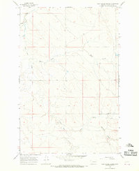
1965 · Tree Coulee School
USGS Topo · 1:24,000
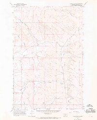
1965 · Sleepy Hollow
USGS Topo · 1:24,000

1967 · Coal Creek
USGS Topo · 1:24,000