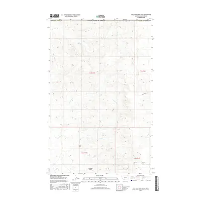
2017 Map of Coal Mine Creek East
USGS Topo · Published 2017About this map
Round Butte rises as a prominent landmark in this northern section of Valley County, just south of the Canadian border. The landscape is defined by the high elevations of the Opheim Hills and the drainage patterns of Coal Mine Cr and Morgan Cr. This map documents a sparsely populated ranching and mining region, where named terrain features like Coal Mine Hill suggest the area's historical industrial ties.
Find a feature on this map
17 named features on this map. Tap any name to fly to it.
Don’t see what you’re looking for? This feature index may not catch every label — zoom into the map to look around manually.
Map Details
Editions of this 2017 Coal Mine Creek East Map
This is the sole edition of this map. No revisions or reprints were ever made.
Other maps of this area

1919 · Boundary
USGS Topo · 1:125,000

1954 · Glasgow
USGS Topo · 1:250,000

1957 · Glasgow
USGS Topo · 1:250,000

1958 · Glasgow
USGS Topo · 1:250,000

1973 · Opheim
USGS Topo · 1:24,000

1973 · Roanwood
USGS Topo · 1:24,000

1984 · O'Juel Lake
USGS Topo · 1:24,000

1984 · Opheim
USGS Topo · 1:100,000

1984 · Dodge Reservoir
USGS Topo · 1:24,000
1984 · Coal Mine Creek East
USGS Topo · 1:24,000