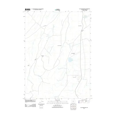
2012 Map of Coal Mine Ridge
USGS Topo · Published 2012About this map
Coal Mine Ridge dominates this high-plains landscape in Carbon County, where the topography is defined by significant drainage systems and industrial energy extraction. The map reveals a network of intermittent watercourses including Sugar Cr and Coal Cr, which flow through various named landforms such as Robinson Canyon and Bull Canyon. Modern utility and resource management are evident in the northern reaches, featuring the Rawlins Peaking Reservoir, and the southeast, where the Hatfield Oil Field indicates the region's continued importance to Wyoming's energy sector.
Find a feature on this map
15 named features on this map. Tap any name to fly to it.
Don’t see what you’re looking for? This feature index may not catch every label — zoom into the map to look around manually.
Map Details
Editions of this 2012 Coal Mine Ridge Map
This is the sole edition of this map. No revisions or reprints were ever made.
Other maps of this area

1953 · Rawlins
USGS Topo · 1:24,000

1954 · Rawlins
USGS Topo · 1:250,000

1956 · Rawlins Peak
USGS Topo · 1:62,500

1956 · Bridger Pass
USGS Topo · 1:62,500

1956 · Bolten Ranch
USGS Topo · 1:62,500

1958 · Rawlins
USGS Topo · 1:250,000

1962 · Rawlins
USGS Topo · 1:250,000

1967 · Rawlins
USGS Topo · 1:250,000
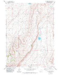
1983 · Coal Mine Ridge
USGS Topo · 1:24,000
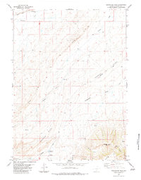
1983 · Separation Peak
USGS Topo · 1:24,000