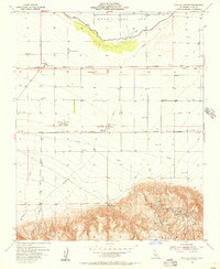
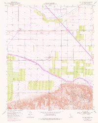
1955 Map of Coal Oil Canyon
USGS Topo · Published 1956About this map
The dry Kern Lake Bed dominates the northern reaches of this mid-century Kern County landscape, its expanse bounded by a prominent levee and the agricultural infrastructure of the Rim. This area reflects the transition from reclamation to intensive industrial use, most notably evidenced by the sprawling Wheeler Ridge Oil Field and the Emidio Pumping Station. A network of transport and energy infrastructure crisscrosses the terrain, including the Maricopa Highway, multiple pipelines, and the remnants of the Tank Farm Auxiliary Airfield (Aban'd). Historical transit routes are memorialized by the Fages-Zalvidea Trails Marker, while local industry is seen in the Cotton Gin near Lakeview. To the south, the terrain rises sharply into Wheeler Ridge, cut by the dramatic erosion of Coal Oil Canyon and several creeks such as Pleito Creek.
Find a feature on this map
31 named features on this map. Tap any name to fly to it.
Don’t see what you’re looking for? This feature index may not catch every label — zoom into the map to look around manually.
Map Details
Editions of this 1955 Coal Oil Canyon Map
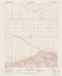
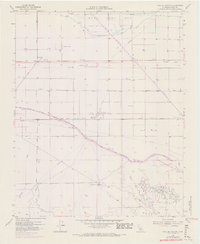
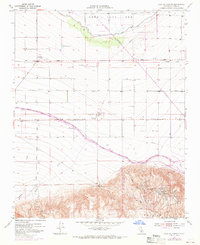
5 editions found
Other maps of this area

1903 · Mt. Pinos
USGS Topo · 1:125,000

1903 · Tejon
USGS Topo · 1:125,000

1910 · Buena Vista Lake
USGS Topo · 1:125,000

1912 · Buena Vista Lake
USGS Topo · 1:125,000

1914 · Caliente
USGS Topo · 1:125,000

1930 · Weed Patch
USGS Topo · 1:31,680

1930 · Millux
USGS Topo · 1:31,680

1930 · Conner
USGS Topo · 1:31,680

1931 · West of Tejon Hills
USGS Topo · 1:31,680

1931 · Hayes Ranch
USGS Topo · 1:31,680