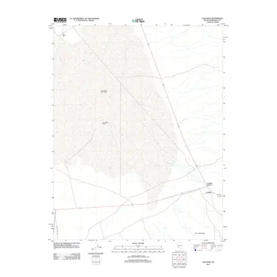
2012 Map of Coaldale
USGS Topo · Published 2012About this map
Columbus Salt Marsh dominates this arid landscape in Esmeralda County, providing a stark geographic focal point within the Columbia Valley. The map documents a critical transportation hub where major regional routes converge at Coaldale Junction, a key waypoint for travelers moving between Nevada's high desert valleys. To the south, the foothills of the Silver Peak Range begin to rise, contrasting with the flat expanse of the marsh and valley floor. Evidence of the area's industrial history is found at the Gates Mill site in the northwest, while the presence of Emigrant Pass Rd serves as a reminder of historical transit corridors through this isolated region. This topographic study emphasizes the intersection of natural desert features and the essential road networks that sustain the small settlements of Coaldale and its namesake junction.
Find a feature on this map
8 named features on this map. Tap any name to fly to it.
Don’t see what you’re looking for? This feature index may not catch every label — zoom into the map to look around manually.
Map Details
Editions of this 2012 Coaldale Map
This is the sole edition of this map. No revisions or reprints were ever made.
Other maps of this area

1898 · Silver Peak
USGS Topo · 1:125,000

1900 · Silver Peak
USGS Topo · 1:125,000

1907 · Tonopah
USGS Topo · 1:250,000

1908 · Lida
USGS Topo · 1:250,000

1908 · Tonopah
USGS Topo · 1:250,000

1909 · Hawthorne
USGS Topo · 1:250,000

1911 · Hawthorne
USGS Topo · 1:250,000

1913 · Lida
USGS Topo · 1:250,000

1915 · Hawthorne
USGS Topo · 1:250,000

1917 · White Mountain
USGS Topo · 1:125,000