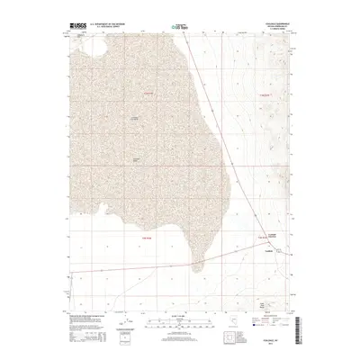
2014 Map of Coaldale
USGS Topo · Published 2014About this map
The expansive Columbus Salt Marsh dominates this portion of Esmeralda County, providing a clear view of the unique hydrography of the high desert basin. Located at a critical juncture for desert transit, the map shows Coaldale Junction and Coaldale where major routes converge at the base of the Silver Peak Range. The transition from the flat, mineral-rich bed of the salt marsh into the elevated Candelaria Hills and the southern Columbia Valley illustrates the classic basin-and-range geography of Nevada. These settlements, though small, remained essential waypoints for travelers and industry in the early 21st century, positioned between the arid flats and the surrounding mountain passes.
Find a feature on this map
13 named features on this map. Tap any name to fly to it.
Don’t see what you’re looking for? This feature index may not catch every label — zoom into the map to look around manually.
Map Details
Editions of this 2014 Coaldale Map
This is the sole edition of this map. No revisions or reprints were ever made.
Other maps of this area

1898 · Silver Peak
USGS Topo · 1:125,000

1900 · Silver Peak
USGS Topo · 1:125,000

1907 · Tonopah
USGS Topo · 1:250,000

1908 · Lida
USGS Topo · 1:250,000

1908 · Tonopah
USGS Topo · 1:250,000

1909 · Hawthorne
USGS Topo · 1:250,000

1911 · Hawthorne
USGS Topo · 1:250,000

1913 · Lida
USGS Topo · 1:250,000

1915 · Hawthorne
USGS Topo · 1:250,000

1917 · White Mountain
USGS Topo · 1:125,000