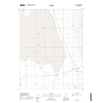
2018 Map of Coaldale
USGS Topo · Published 2018About this map
Columbus Salt Marsh dominates this high-desert basin, a stark white expanse of saline deposits that defines the geography of northern Esmeralda County. This 2018 survey documents the intersection of modern transit and ancient geological features, where the arid Columbia Valley meets the rising elevations of the Candelaria Hills to the northwest and the Silver Peak Range to the southeast. The small settlement of Coaldale and the critical transportation node at Coaldale Junction serve as the primary human markers in a landscape otherwise shaped by vast alluvial flats and desert scrub. The map illustrates the lonely path of Emigrant Pass Rd winding through the western flats, providing a detailed look at the hydrologic and topographic layout of this remote portion of the Great Basin.
Find a feature on this map
11 named features on this map. Tap any name to fly to it.
Don’t see what you’re looking for? This feature index may not catch every label — zoom into the map to look around manually.
Map Details
Editions of this 2018 Coaldale Map
This is the sole edition of this map. No revisions or reprints were ever made.
Other maps of this area

1898 · Silver Peak
USGS Topo · 1:125,000

1900 · Silver Peak
USGS Topo · 1:125,000

1907 · Tonopah
USGS Topo · 1:250,000

1908 · Lida
USGS Topo · 1:250,000

1908 · Tonopah
USGS Topo · 1:250,000

1909 · Hawthorne
USGS Topo · 1:250,000

1911 · Hawthorne
USGS Topo · 1:250,000

1913 · Lida
USGS Topo · 1:250,000

1915 · Hawthorne
USGS Topo · 1:250,000

1917 · White Mountain
USGS Topo · 1:125,000