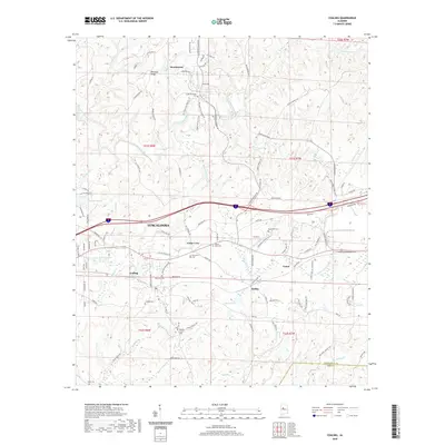
2020 Map of Coaling
USGS Topo · Published 2020About this map
Jemison Mtn rises above a landscape defined by its network of watercourses and rural settlements east of Tuscaloosa. This survey illustrates the proximity of towns like Coaling, Vance, and Brookwood, where residential developments such as Pleasant Ridge meet the winding paths of Hurricane Creek and Little Hurricane Cr. The mapping of the area shows a distinct concentration of local heritage sites, with several burying grounds including Thomas Chapel Cem and New Asia Cem situated among the timbered hills.
Find a feature on this map
110 named features on this map. Tap any name to fly to it.
Don’t see what you’re looking for? This feature index may not catch every label — zoom into the map to look around manually.
Map Details
Editions of this 2020 Coaling Map
This is the sole edition of this map. No revisions or reprints were ever made.
Other maps of this area

1899 · Brookwood
USGS Topo · 1:125,000

1927 · Adger
USGS Topo · 1:48,000

1929 · Searles
USGS Topo · 1:48,000

1931 · Cottondale
USGS Topo · 1:48,000

1932 · Yolande
USGS Topo · 1:62,500

1934 · Searles
USGS Topo · 1:62,500

1934 · Cottondale
USGS Topo · 1:62,500

1934 · Blocton
USGS Topo · 1:48,000

1935 · Yolande
USGS Topo · 1:62,500

1940 · Blocton
USGS Topo · 1:62,500