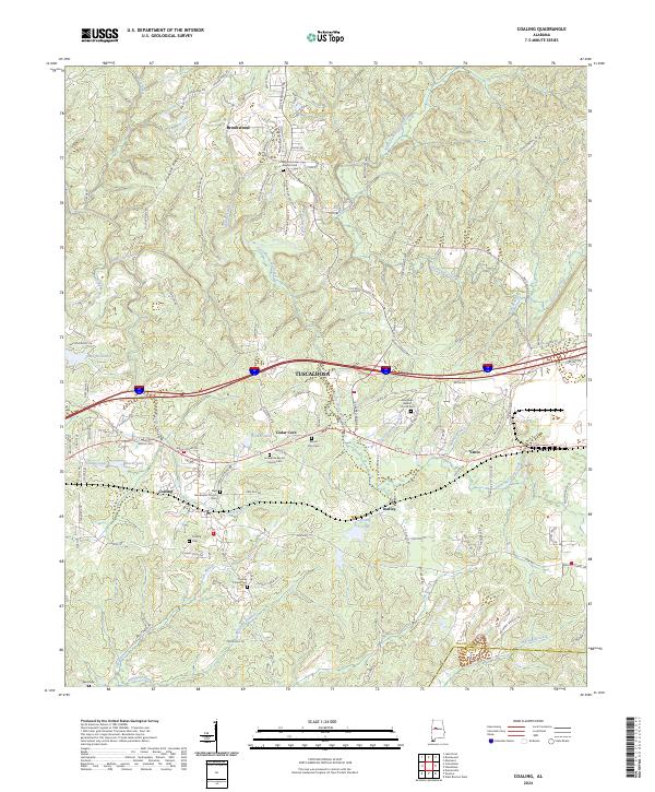
2024 Map of Coaling
USGS Topo · Published 2024About this map
Brookwood and Coaling anchor this map of eastern Tuscaloosa County, where the southern reaches of the Appalachian foothills meet the industrial and transit corridors of central Alabama. The landscape is defined by the drainage basins of Hurricane Creek and Big Sandy Creek, with the prominent Pleasant Ridge and Chigger Ridge providing significant elevation changes. This modern survey illustrates the persistent importance of early community centers, marked by a high concentration of rural sanctuaries such as the New Asia Baptist Church / Cem and Enterprise Baptist Church Cem.
Find a feature on this map
119 named features on this map. Tap any name to fly to it.
Don’t see what you’re looking for? This feature index may not catch every label — zoom into the map to look around manually.
Map Details
Editions of this 2024 Coaling Map
This is the sole edition of this map. No revisions or reprints were ever made.
Other maps of this area

1899 · Brookwood
USGS Topo · 1:125,000

1927 · Adger
USGS Topo · 1:48,000

1929 · Searles
USGS Topo · 1:48,000

1931 · Cottondale
USGS Topo · 1:48,000

1932 · Yolande
USGS Topo · 1:62,500

1934 · Searles
USGS Topo · 1:62,500

1934 · Cottondale
USGS Topo · 1:62,500

1934 · Blocton
USGS Topo · 1:48,000

1935 · Yolande
USGS Topo · 1:62,500

1940 · Blocton
USGS Topo · 1:62,500