Loading...
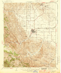
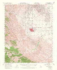
Loading map...1944 Map of Coalinga
USGS Topo · Published 1944About this map
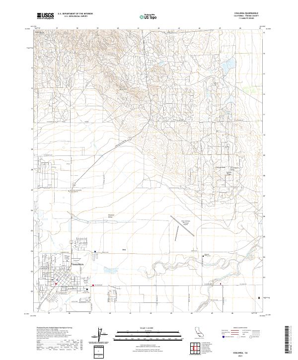
The Coalinga Oil Refinery and the surrounding network of industrial settlements define this wartime landscape in the San Joaquin Valley. At the heart of the region, Coalinga serves as a hub for the petroleum economy, connected by the Southern Pacific railroad and a grid of roads like Derrick Ave and Palmer Ave. The map reveals a high concentration of energy infrastructure, from numerous Oil Pumping Sta sites to specialized camps such as Camp 7-C and Camp 25-D.
Find a feature on this map
65 named features on this map. Tap any name to fly to it.
Don’t see what you’re looking for? This feature index may not catch every label — zoom into the map to look around manually.
Map Details
Date Portrayed1944
Date Published1944
PublisherU.S. Geological Survey
Map TypeTopographic
Scale1:62,500
Physical Dimensions16.6 x 19.8 inches
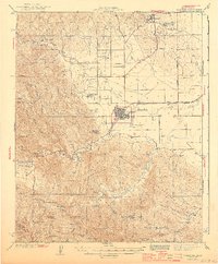
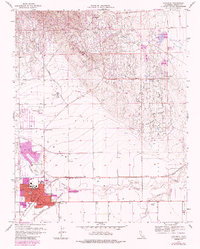
Editions of this 1944 Coalinga Map
3 editions found
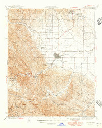
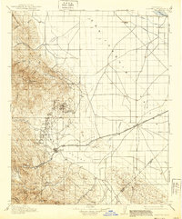
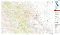
Historical Maps of Coalinga Through Time
9 maps found
Featured Locations
Source Details
SourceU.S. Geological Survey
CopyrightPublic Domain