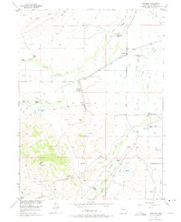
1955 Map of Coalmont
USGS Topo · Published 1975About this map
Coalmont serves as the industrial and logistical center of this Jackson County landscape, situated at a junction where the Union Pacific railroad met the region's coal and ranching interests. The settlement is flanked by an Open Pit Mine and Coal Mines to the south, highlighting the resource extraction that defined the local economy during the mid-20th century. To the north, Hebron sits along the rail line, surrounded by a complex network of irrigation works including the Marr Ditch No 1 and Staples Ditch No 1.
Find a feature on this map
50 named features on this map. Tap any name to fly to it.
Don’t see what you’re looking for? This feature index may not catch every label — zoom into the map to look around manually.
Map Details
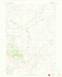
Editions of this 1955 Coalmont Map
3 editions found
Other maps of this area

1911 · Hahns Peak
USGS Topo · 1:125,000

1913 · Hahns Peak
USGS Topo · 1:125,000

1954 · Craig
USGS Topo · 1:250,000

1955 · Pitchpine Mountain
USGS Topo · 1:24,000

1955 · Teal Lake
USGS Topo · 1:24,000

1955 · Delaney Butte
USGS Topo · 1:24,000

1955 · Coalmont
USGS Topo · 1:24,000

1955 · Walden
USGS Topo · 1:24,000

1955 · Mac Farlane Reservoir
USGS Topo · 1:24,000

1955 · Mount Ethel
USGS Topo · 1:62,500