
1968 Map of Coats NE
USGS Topo · Published 1970About this map
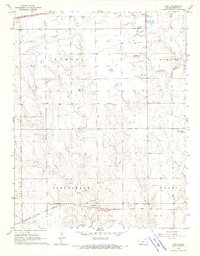
The western edge of Pratt serves as the primary hub of activity in this 1968 survey, where the Chicago Rock Island and Pacific railroad tracks bisect the southern landscape. The map captures a detailed snapshot of the region's mid-century infrastructure, featuring the Pratt Airport and a prominent Radio Tower near the town center. Rural life is anchored by the Skyline Sch and the natural geography of the South Fork Ninnescah River, which winds through the southern townships.
Find a feature on this map
20 named features on this map. Tap any name to fly to it.
Don’t see what you’re looking for? This feature index may not catch every label — zoom into the map to look around manually.
Map Details
Editions of this 1968 Coats NE Map
This is the sole edition of this map. No revisions or reprints were ever made.
Other maps of this area

1892 · Pratt
USGS Topo · 1:125,000

1894 · Pratt
USGS Topo · 1:125,000

1955 · Pratt
USGS Topo · 1:250,000

1959 · Pratt
USGS Topo · 1:250,000

1968 · Pratt SW
USGS Topo · 1:24,000

1968 · Pratt
USGS Topo · 1:24,000

1968 · Cullison
USGS Topo · 1:24,000

1968 · Coats
USGS Topo · 1:24,000
1968 · Croft
USGS Topo · 1:24,000
1971 · Byers
USGS Topo · 1:24,000