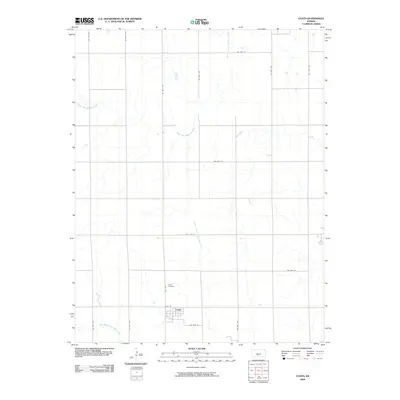
2009 Map of Coats
USGS Topo · Published 2009About this map
The town of Coats serves as the primary hub in this corner of Pratt County, Kansas, situated at the intersection of 90th St and 50th Ave. This landscape is defined by the precise section lines of the rural road grid, where long stretches like SW 70th Ave and SW 20th St divide the open agricultural terrain. Just north of the town site, Coats Cemetery provides a localized record of the area's residents.
Find a feature on this map
20 named features on this map. Tap any name to fly to it.
Don’t see what you’re looking for? This feature index may not catch every label — zoom into the map to look around manually.
Map Details
Editions of this 2009 Coats Map
This is the sole edition of this map. No revisions or reprints were ever made.
Other maps of this area
1891 · Medicine Lodge
USGS Topo · 1:125,000
1892 · Pratt
USGS Topo · 1:125,000
1893 · Medicine Lodge
USGS Topo · 1:125,000
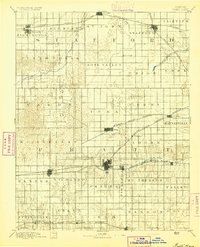
1894 · Pratt
USGS Topo · 1:125,000
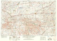
1955 · Pratt
USGS Topo · 1:250,000
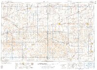
1959 · Pratt
USGS Topo · 1:250,000
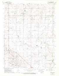
1968 · Pratt SW
USGS Topo · 1:24,000
1968 · Sun City
USGS Topo · 1:24,000
1968 · Pratt
USGS Topo · 1:24,000
1968 · Cullison
USGS Topo · 1:24,000