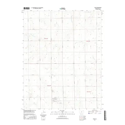
2015 Map of Coats
USGS Topo · Published 2015About this map
The small town of Coats sits as the primary settlement on this Southern Kansas prairie landscape. This region of Pratt County is defined by the headwaters of several drainages, including the S Fork Ninnescah River in the northwest and Sand Cr to the east. The township is laid out in a precise grid of rural roads such as SW 20th St and SW 70th Ave, reflecting the enduring structure of the Public Land Survey System. Near the town center, local streets like Main St and Santa Fe Ave cluster around the residential core, while the Coats Cem serves as an important landmark for genealogists and local historians tracking the community's heritage. In the south, the landscape is carved by the W Br S Elm Cr and E Br S Elm Cr, illustrating the subtle topographic shifts that guide the area's agricultural life.
Find a feature on this map
37 named features on this map. Tap any name to fly to it.
Don’t see what you’re looking for? This feature index may not catch every label — zoom into the map to look around manually.
Map Details
Editions of this 2015 Coats Map
This is the sole edition of this map. No revisions or reprints were ever made.
Other maps of this area

1891 · Medicine Lodge
USGS Topo · 1:125,000

1892 · Pratt
USGS Topo · 1:125,000

1893 · Medicine Lodge
USGS Topo · 1:125,000

1894 · Pratt
USGS Topo · 1:125,000

1955 · Pratt
USGS Topo · 1:250,000

1959 · Pratt
USGS Topo · 1:250,000

1968 · Pratt SW
USGS Topo · 1:24,000
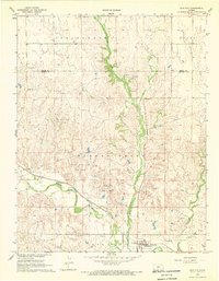
1968 · Sun City
USGS Topo · 1:24,000

1968 · Pratt
USGS Topo · 1:24,000

1968 · Cullison
USGS Topo · 1:24,000