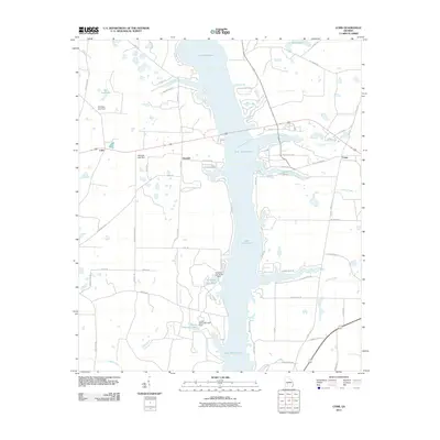
2011 Map of Cobb
USGS Topo · Published 2011About this map
Lake Blackshear dominates this area of central Georgia, formed by the impoundment of the Flint River. The 2011 landscape reflects a mix of riverside recreation and agricultural legacy, with the settlements of Cobb and Coney flanking the water. On the western shore, the community of Flintside sits near numerous smaller water bodies and hydraulic controls, including Wheatley Lake North and Lower Wheatley Lake. The topography is marked by several dam structures, such as the Gill Pace Lake Dam and Womack Lake Dam, which manage the local drainage basins before they reach the main river channel. Smaller tributaries like Collins Branch and Chokee Creek meander through the southern reaches, while Mile Pond and Gum Creek characterize the northern and eastern terrain. The presence of Ga Veterans RD and Scenic Rte highlights the area's transition into a modern residential and recreational hub centered around the reservoir.
Find a feature on this map
62 named features on this map. Tap any name to fly to it.
Don’t see what you’re looking for? This feature index may not catch every label — zoom into the map to look around manually.
Map Details
Editions of this 2011 Cobb Map
This is the sole edition of this map. No revisions or reprints were ever made.
Other maps of this area

1953 · Dothan
USGS Topo · 1:250,000

1953 · Waycross
USGS Topo · 1:250,000

1954 · Dothan
USGS Topo · 1:250,000

1955 · Dothan
USGS Topo · 1:250,000

1955 · Phenix City
USGS Topo · 1:250,000

1956 · Leslie
USGS Topo · 1:62,500

1957 · Phenix City
USGS Topo · 1:250,000

1957 · Macon
USGS Topo · 1:250,000

1958 · Macon
USGS Topo · 1:250,000

1958 · Phenix City
USGS Topo · 1:250,000