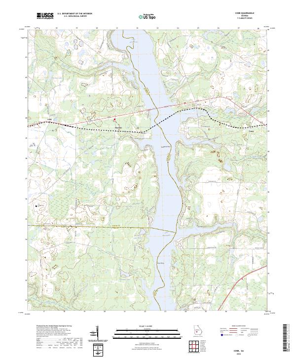
2024 Map of Cobb
USGS Topo · Published 2024About this map
Lake Blackshear dominates the central landscape of this Georgia quadrangle, where the borders of Crisp, Sumter, and Lee counties meet. The settlement of Cobb sits along the western shoreline at the crossing of Route 280, serving as a focal point for a region defined by its waterfront geography and rural agricultural roots. Further south, the map preserves the locations of Hugenia Ferry and Coxs Ferry, recalling a period when these crossings were vital links for the residents of Flintside and surrounding farmsteads.
Find a feature on this map
79 named features on this map. Tap any name to fly to it.
Don’t see what you’re looking for? This feature index may not catch every label — zoom into the map to look around manually.
Map Details
Editions of this 2024 Cobb Map
This is the sole edition of this map. No revisions or reprints were ever made.
Other maps of this area

1953 · Dothan
USGS Topo · 1:250,000

1953 · Waycross
USGS Topo · 1:250,000

1954 · Dothan
USGS Topo · 1:250,000

1955 · Dothan
USGS Topo · 1:250,000

1955 · Phenix City
USGS Topo · 1:250,000

1956 · Leslie
USGS Topo · 1:62,500

1957 · Phenix City
USGS Topo · 1:250,000

1957 · Macon
USGS Topo · 1:250,000

1958 · Macon
USGS Topo · 1:250,000

1958 · Phenix City
USGS Topo · 1:250,000