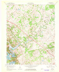
1967 Map of Cobb
USGS Topo · Published 1968About this map
The Little River and its winding tributaries dominate this landscape on the border of Caldwell and Trigg counties during the late 1960s. The mapping shows the newly created shoreline of Lake Barkley in the southwest corner, a major transformation of the local terrain following the damming of the river. Small agricultural communities such as Wallonia, Cobb, and Hopson are interconnected by rural roads and the Illinois Central railroad line, which cuts across the northern portion of the sheet.
Find a feature on this map
34 named features on this map. Tap any name to fly to it.
Don’t see what you’re looking for? This feature index may not catch every label — zoom into the map to look around manually.
Map Details
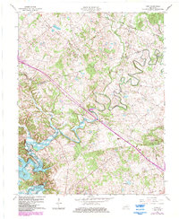
Editions of this 1967 Cobb Map
2 editions found
Other maps of this area

1908 · Princeton
USGS Topo · 1:62,500

1909 · Dawson Springs
USGS Topo · 1:48,000

1910 · Princeton
USGS Topo · 1:62,500

1911 · Dawson Springs
USGS Topo · 1:62,500

1950 · Caledonia
USGS Topo · 1:24,000

1951 · Caledonia
USGS Topo · 1:24,000

1953 · Canton
USGS Topo · 1:24,000

1953 · Gracey
USGS Topo · 1:24,000

1953 · Cobb
USGS Topo · 1:24,000

1953 · Dawson Springs SW
USGS Topo · 1:24,000