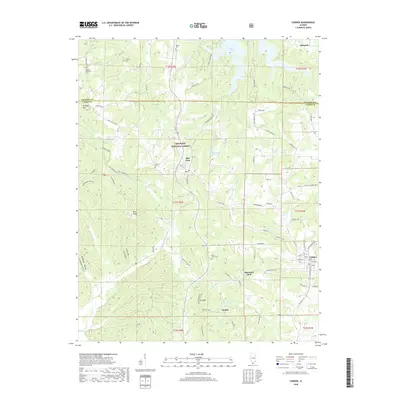
2018 Map of Cobden
USGS Topo · Published 2018About this map
The hills of the Shawnee National Forest define the topography of this southern Illinois landscape, where small settlements and rural homesteads are tucked into the valleys between Iron Mtn and Bald Knob. The town of Cobden serves as a primary hub in the southeastern corner, while Alto Pass is positioned near the Alto-Pass Reservoir at a notable elevation. This 2018 survey reveals a density of genealogical interest, with numerous family and community burial grounds such as Mount Tabor Cem, Stearns Cem, and Hagler Cem scattered throughout the territory. The map illustrates a complex drainage system where Hutchins Creek and Clear Creek carve through the terrain, historically influencing the placement of early infrastructure like the Mountain Glen Road and the namesake settlement at Mountain Glen.
Find a feature on this map
83 named features on this map. Tap any name to fly to it.
Don’t see what you’re looking for? This feature index may not catch every label — zoom into the map to look around manually.
Map Details
Editions of this 2018 Cobden Map
This is the sole edition of this map. No revisions or reprints were ever made.
Other maps of this area

1920 · Jonesboro
USGS Topo · 1:62,500

1920 · Dongola
USGS Topo · 1:62,500

1922 · Carbondale
USGS Topo · 1:62,500

1923 · Dongola
USGS Topo · 1:62,500

1923 · Jonesboro
USGS Topo · 1:62,500

1924 · Alto Pass
USGS Topo · 1:62,500

1941 · Carbondale
USGS Topo · 1:62,500

1947 · Jonesboro
USGS Topo · 1:62,500

1947 · Alto Pass
USGS Topo · 1:62,500

1947 · Gorham
USGS Topo · 1:24,000