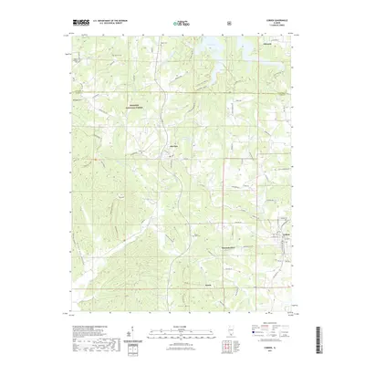
2021 Map of Cobden
USGS Topo · Published 2021About this map
Alto Pass and the surrounding high ground of the Shawnee National Forest define this section of southern Illinois. The landscape is marked by prominent elevations such as Bald Knob and Milligan Hill, which separate the various watersheds that feed into Cedar Lake and the Alto Pass Reservoir. The area is historically rooted in small settlements like Mountain Glen and Kaolin, the latter of which shares its name with the local Kaolin Trl, reflecting the region's mineral interests. Genealogy researchers can find numerous burial grounds scattered across the terrain, including Stearns Cem, Collins Cem, and Tabor Cem. The map reveals a complex network of trails and rural routes, such as the Ranbarger Hollow Trl and Godwin Trl, which navigate the steep ridges and hollows that characterize this portion of Union and Jackson Counties.
Find a feature on this map
89 named features on this map. Tap any name to fly to it.
Don’t see what you’re looking for? This feature index may not catch every label — zoom into the map to look around manually.
Map Details
Editions of this 2021 Cobden Map
This is the sole edition of this map. No revisions or reprints were ever made.
Other maps of this area

1920 · Jonesboro
USGS Topo · 1:62,500

1920 · Dongola
USGS Topo · 1:62,500

1922 · Carbondale
USGS Topo · 1:62,500

1923 · Dongola
USGS Topo · 1:62,500

1923 · Jonesboro
USGS Topo · 1:62,500

1924 · Alto Pass
USGS Topo · 1:62,500

1941 · Carbondale
USGS Topo · 1:62,500

1947 · Jonesboro
USGS Topo · 1:62,500

1947 · Alto Pass
USGS Topo · 1:62,500

1947 · Gorham
USGS Topo · 1:24,000