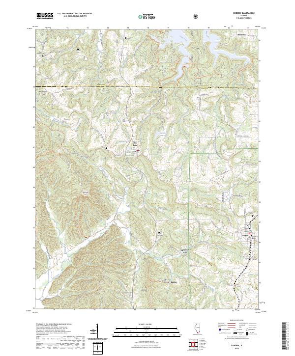
2024 Map of Cobden
USGS Topo · Published 2024About this map
The southern Illinois orchard country and the high ridges of the Shawnee Hills define this modern survey of northwestern Union County. The village of Alto Pass sits at a significant elevation gap, overlooking the Alto Pass Reservoir and the headwaters of Cave Creek. To the south, the terrain rises toward the prominent landmark of Bald Knob, which is protected within the Bald Knob Wilderness. This landscape is deeply etched by a network of waterways including the Seminary Fork and Clear Creek, which have shaped the settlement patterns of rural communities like Mountain Glen and Kaolin.
Find a feature on this map
88 named features on this map. Tap any name to fly to it.
Don’t see what you’re looking for? This feature index may not catch every label — zoom into the map to look around manually.
Map Details
Editions of this 2024 Cobden Map
This is the sole edition of this map. No revisions or reprints were ever made.
Other maps of this area

1920 · Jonesboro
USGS Topo · 1:62,500

1920 · Dongola
USGS Topo · 1:62,500

1922 · Carbondale
USGS Topo · 1:62,500

1923 · Dongola
USGS Topo · 1:62,500

1923 · Jonesboro
USGS Topo · 1:62,500

1924 · Alto Pass
USGS Topo · 1:62,500

1941 · Carbondale
USGS Topo · 1:62,500

1947 · Jonesboro
USGS Topo · 1:62,500

1947 · Alto Pass
USGS Topo · 1:62,500

1947 · Gorham
USGS Topo · 1:24,000