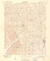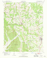
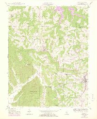
1947 Map of Cobden
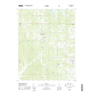
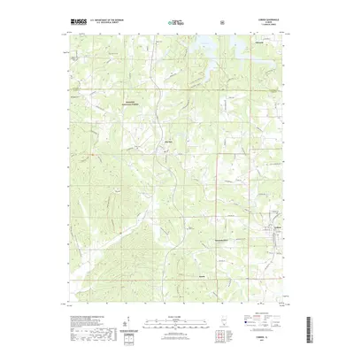
USGS Topo · Published 1970About this map
The hills of the Shawnee National Forest and Union County State Forest define this 1947 landscape, where orchards and timber once drove the local economy. The high point at Bald Knob Lookout Tower overlooks a network of rural life connected by the Gulf Mobile and Ohio and Illinois Central railroads. These rail lines served as the lifeblood for settlements like Cobden and Alto Pass, facilitating the transport of agricultural goods from the surrounding ridges. Deeply rooted family sites are scattered throughout the terrain, from Jerusalem Church in the northwest to the small enclave at Mountain Glen. Researchers can find numerous one-room schoolhouses such as Hambric School and Gregory Sch, alongside several rural cemeteries like Stearns Cem and Hagler Cem that speak to the genealogy of Southern Illinois.
Find a feature on this map
38 named features on this map. Tap any name to fly to it.
Don’t see what you’re looking for? This feature index may not catch every label — zoom into the map to look around manually.
Map Details
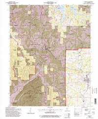
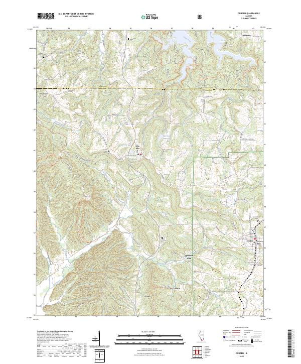
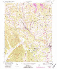
Editions of this 1947 Cobden Map
3 editions found
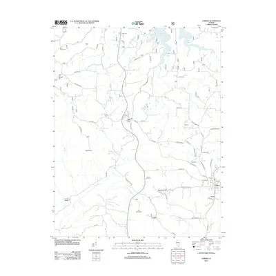
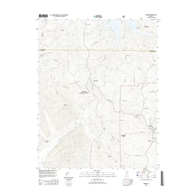
Historical Maps of Cobden Through Time
8 maps found