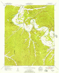
1952 Map of Coble
USGS Topo · Published 1957About this map
The Duck River winds through the heart of Hickman County, its deep, looping meanders defining the local landscape and rural way of life. At these sharp bends, early river crossings like Grandmother Ford, Alexander Ford, and Perogue Ford served as vital links between the isolated ridge-and-hollow communities. The small settlements of Only and Coble act as anchors in this terrain, where family lineages are traced through a high concentration of small burial grounds, including the Murphree Cem, Sparks Cem, and Walker Cem.
Find a feature on this map
83 named features on this map. Tap any name to fly to it.
Don’t see what you’re looking for? This feature index may not catch every label — zoom into the map to look around manually.
Map Details
Editions of this 1952 Coble Map
2 editions found
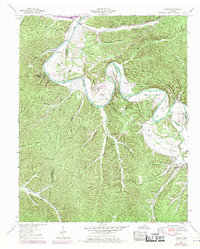
Other maps of this area

1936 · Pleasantville
USGS Topo · 1:24,000

1936 · Hurricane Mills
USGS Topo · 1:24,000

1936 · Coble
USGS Topo · 1:24,000

1936 · Beaverdam Springs
USGS Topo · 1:24,000

1936 · Whitfield
USGS Topo · 1:24,000

1936 · Bucksnort
USGS Topo · 1:24,000

1936 · Chestnut Grove
USGS Topo · 1:24,000

1936 · Spot
USGS Topo · 1:24,000

1936 · Lobelville
USGS Topo · 1:24,000
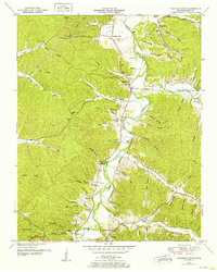
1950 · Chestnut Grove
USGS Topo · 1:24,000