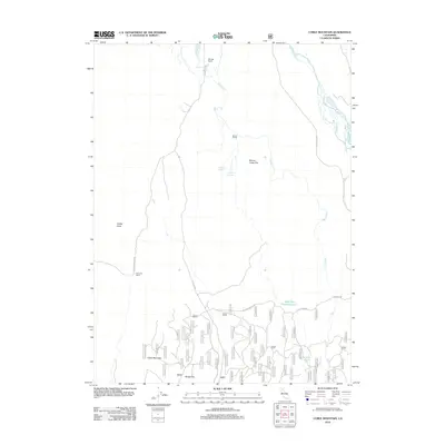
2012 Map of Coble Mountain
USGS Topo · Published 2012About this map
Eldridge Ranch and Burton Ranch anchor the northern reaches of this high-plateau landscape, where the Pit River winds through the northeastern corner. The terrain is defined by volcanic features and water management, notably the Cinder Cone and the Beaver Creek Rim overlooking Beaver Cr. A complex network of forest service roads, such as 35n11 and 35n60, crisscrosses the southern half of the map, illustrating the modern management of this timber and grazing country.
Find a feature on this map
59 named features on this map. Tap any name to fly to it.
Don’t see what you’re looking for? This feature index may not catch every label — zoom into the map to look around manually.
Map Details
Editions of this 2012 Coble Mountain Map
This is the sole edition of this map. No revisions or reprints were ever made.
Other maps of this area

1886 · Lassen Peak
USGS Topo · 1:250,000

1886 · Modoc Lava Bed
USGS Topo · 1:250,000

1892 · Modoc Lava-Bed
USGS Topo · 1:250,000

1892 · Lassen Peak
USGS Topo · 1:250,000

1894 · Lassen Peak
USGS Topo · 1:250,000

1939 · Halls Flat
USGS Topo · 1:125,000

1954 · Alturas
USGS Topo · 1:250,000

1955 · Westwood
USGS Topo · 1:250,000

1957 · Little Valley
USGS Topo · 1:62,500

1957 · Jellico
USGS Topo · 1:62,500