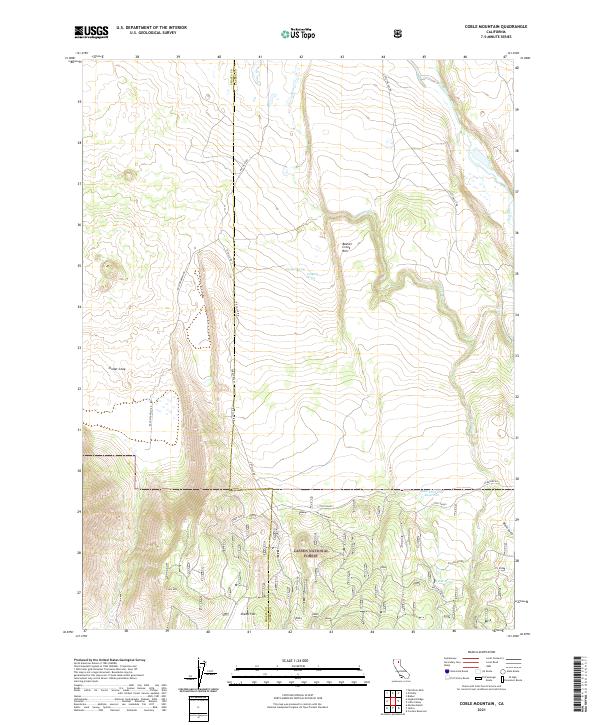
2021 Map of Coble Mountain
USGS Topo · Published 2021About this map
Lassen National Forest terrain dominates this 2021 study of northeastern California, where the Shasta and Lassen county line bisects the high country. The landscape is defined by its volcanic and hydrological features, notably the Cinder Cone and the prominent volcanic shelf of Beaver Creek Rim. Water resources are sparse but significant, ranging from the Pit River in the northeast to several named seeps such as Wilson Spring and Willow Spring.
Find a feature on this map
29 named features on this map. Tap any name to fly to it.
Don’t see what you’re looking for? This feature index may not catch every label — zoom into the map to look around manually.
Map Details
Editions of this 2021 Coble Mountain Map
This is the sole edition of this map. No revisions or reprints were ever made.
Other maps of this area

1886 · Lassen Peak
USGS Topo · 1:250,000

1886 · Modoc Lava Bed
USGS Topo · 1:250,000

1892 · Modoc Lava-Bed
USGS Topo · 1:250,000

1892 · Lassen Peak
USGS Topo · 1:250,000

1894 · Lassen Peak
USGS Topo · 1:250,000

1939 · Halls Flat
USGS Topo · 1:125,000

1954 · Alturas
USGS Topo · 1:250,000

1955 · Westwood
USGS Topo · 1:250,000

1957 · Little Valley
USGS Topo · 1:62,500

1957 · Jellico
USGS Topo · 1:62,500