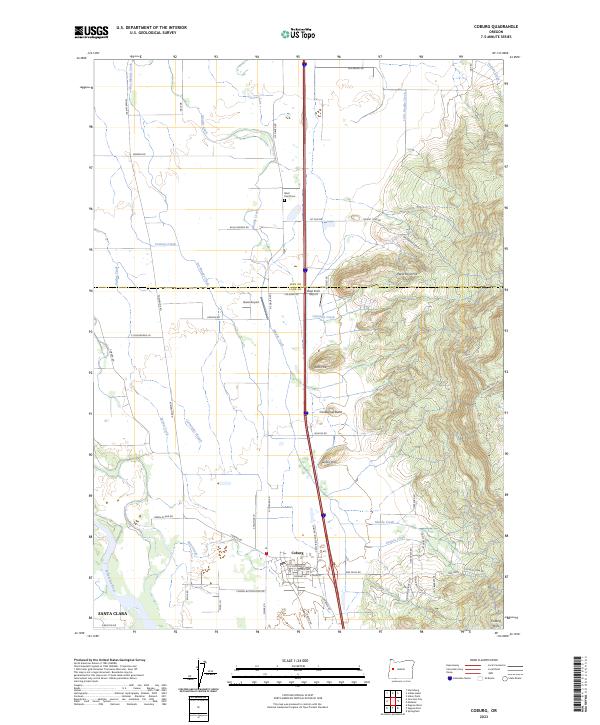
2023 Map of Coburg
USGS Topo · Published 2023About this map
Coburg stands at the base of the Coburg Hills, marking a transition from the elevated peaks of the eastern range to the fertile valley floor along the Willamette River. This modern survey details the complex network of sloughs and creeks that define the local drainage, including Mill Slough, Cartwright Slough, and the winding path of Dry Muddy Creek. The landscape is punctuated by isolated elevations like Centennial Butte, Lenon Hill, and Rock Hill, which rise sharply from the surrounding fields. Local history is anchored by the West Point Cem and infrastructure like the Greer Airport and West Point Airport. The area near Santa Clara reflects the continuing development of Lane County, while the northern boundary along the Linn Co Lane Co line shows how the terrain continues into the neighboring county.
Find a feature on this map
67 named features on this map. Tap any name to fly to it.
Don’t see what you’re looking for? This feature index may not catch every label — zoom into the map to look around manually.
Map Details
Editions of this 2023 Coburg Map
This is the sole edition of this map. No revisions or reprints were ever made.
Other maps of this area

1909 · Harrisburg
USGS Topo · 1:31,680

1909 · Rowland
USGS Topo · 1:31,680

1910 · Eugene
USGS Topo · 1:62,500

1912 · Halsey
USGS Topo · 1:62,500

1921 · Brownsville
USGS Topo · 1:62,500

1940 · Eugene
USGS Topo · 1:62,500

1941 · Halsey
USGS Topo · 1:62,500

1946 · Eugene
USGS Topo · 1:62,500

1949 · Eugene
USGS Topo · 1:62,500

1950 · Marcola
USGS Topo · 1:62,500