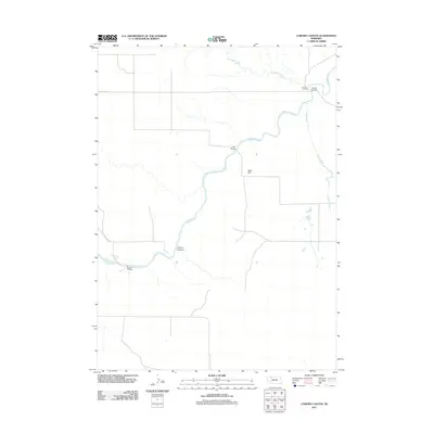
2011 Map of Coburn Canyon
USGS Topo · Published 2011About this map
The Niobrara River carves a winding path through this portion of Cherry County, defining the local geography alongside its tributaries, Antelope Creek and Pole Creek. The map records a series of critical crossing points that facilitated travel through this sparsely settled landscape, including Hardin Bridge, Case Bridge, and Lavaca Bridge. Near the northern bend of the river, Lavaca Cemetery stands as a focal point for genealogical research, marking the location of an early community presence. The terrain is characterized by subtle but distinct landmarks such as Rock Hill and the eponymous Coburn Canyon. The sparse road network, featuring Pole Creek Rd, reflects the enduring rural character of this High Plains region in the early 21st century.
Find a feature on this map
10 named features on this map. Tap any name to fly to it.
Don’t see what you’re looking for? This feature index may not catch every label — zoom into the map to look around manually.
Map Details
Editions of this 2011 Coburn Canyon Map
This is the sole edition of this map. No revisions or reprints were ever made.
Other maps of this area

1950 · Irwin
USGS Topo · 1:62,500

1951 · Irwin
USGS Topo · 1:62,500

1951 · Gypsy Valley
USGS Topo · 1:62,500

1955 · Alliance
USGS Topo · 1:250,000

1957 · Alliance
USGS Topo · 1:250,000

1957 · Valentine
USGS Topo · 1:250,000

1958 · Alliance
USGS Topo · 1:250,000

1959 · Valentine
USGS Topo · 1:250,000

1969 · Rushville 4 SW
USGS Topo · 1:24,000

1969 · Gordon
USGS Topo · 1:24,000