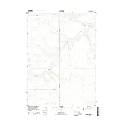
2014 Map of Coburn Canyon
USGS Topo · Published 2014About this map
The Niobrara River carves a deep valley through the Nebraska Sandhills along the border of Sheridan and Cherry Counties. This landscape is defined by its sparse settlement and reliance on crossing points like Lavaca Bridge, Case Bridge, and Hardin Bridge, which connect the remote ranching roads that segment the tablelands. For genealogists, the Lavaca Cem near the river's northern bend provides a specific point of historical record in an otherwise open terrain. The map's topography highlights the dramatic descent into Coburn Canyon and the prominence of Rock Hill, illustrating the erosional forces that have shaped this portion of the Great Plains. These named crossings and landmarks reveal the vital infrastructure required to navigate the water-carved breaks of the Niobrara in the early 21st century.
Find a feature on this map
16 named features on this map. Tap any name to fly to it.
Don’t see what you’re looking for? This feature index may not catch every label — zoom into the map to look around manually.
Map Details
Editions of this 2014 Coburn Canyon Map
This is the sole edition of this map. No revisions or reprints were ever made.
Other maps of this area

1950 · Irwin
USGS Topo · 1:62,500

1951 · Irwin
USGS Topo · 1:62,500

1951 · Gypsy Valley
USGS Topo · 1:62,500

1955 · Alliance
USGS Topo · 1:250,000

1957 · Alliance
USGS Topo · 1:250,000

1957 · Valentine
USGS Topo · 1:250,000

1958 · Alliance
USGS Topo · 1:250,000

1959 · Valentine
USGS Topo · 1:250,000

1969 · Rushville 4 SW
USGS Topo · 1:24,000

1969 · Gordon
USGS Topo · 1:24,000