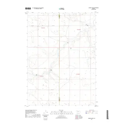
2017 Map of Coburn Canyon
USGS Topo · Published 2017About this map
The Niobrara River carves a deep path through the Sandhills of northern Nebraska, serving as the central geographic feature of this Cherry County landscape. At the river's crossing points, vital local landmarks include the Lavaca Bridge, Case Bridge, and Hardin Bridge, which connect the isolated ranching roads across the water. On the higher ground north of the river, the Lavaca Cem stands near Antelope Cr as a point of interest for genealogists and local historians tracking early settlers. The terrain is defined by dramatic shifts in elevation, from the heights of Rock Hill to the namesake Coburn Canyon. A network of section-line roads and trails like Pole Creek Rd and Mills Rd provide the only infrastructure in this sparsely populated cattle country, marking the boundary where Cherry County meets Sheridan County.
Find a feature on this map
21 named features on this map. Tap any name to fly to it.
Don’t see what you’re looking for? This feature index may not catch every label — zoom into the map to look around manually.
Map Details
Editions of this 2017 Coburn Canyon Map
This is the sole edition of this map. No revisions or reprints were ever made.
Other maps of this area

1950 · Irwin
USGS Topo · 1:62,500

1951 · Irwin
USGS Topo · 1:62,500

1951 · Gypsy Valley
USGS Topo · 1:62,500

1955 · Alliance
USGS Topo · 1:250,000

1957 · Alliance
USGS Topo · 1:250,000

1957 · Valentine
USGS Topo · 1:250,000

1958 · Alliance
USGS Topo · 1:250,000

1959 · Valentine
USGS Topo · 1:250,000

1969 · Rushville 4 SW
USGS Topo · 1:24,000

1969 · Gordon
USGS Topo · 1:24,000