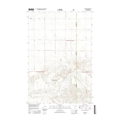
2014 Map of Coburn
USGS Topo · Published 2014About this map
The Sheyenne River snakes through the southern half of this landscape, carving a complex valley through the expansive Sheyenne National Grassland. This section of southeastern North Dakota is defined by the contrast between the protected grasslands and the rigid section-line road network that serves the surrounding agricultural territory. Near the western edge, the small settlement of Coburn sits along the northern reaches, while the Ylvisaker Bridge provides a critical crossing over the river's winding course. The map also delineates the boundary between Ransom Co and Richland Co, capturing the intersection of public land management and rural township structure in the early 21st century.
Find a feature on this map
16 named features on this map. Tap any name to fly to it.
Don’t see what you’re looking for? This feature index may not catch every label — zoom into the map to look around manually.
Map Details
Editions of this 2014 Coburn Map
This is the sole edition of this map. No revisions or reprints were ever made.
Other maps of this area

1895 · Casselton
USGS Topo · 1:125,000

1897 · Casselton
USGS Topo · 1:125,000

1907 · Wyndmere
USGS Topo · 1:125,000

1953 · Fargo
USGS Topo · 1:250,000

1956 · Fargo
USGS Topo · 1:250,000

1959 · Leonard
USGS Topo · 1:24,000

1960 · Power
USGS Topo · 1:24,000

1960 · Wyndmere NW
USGS Topo · 1:24,000

1960 · Coburn
USGS Topo · 1:24,000

1960 · Venlo
USGS Topo · 1:24,000