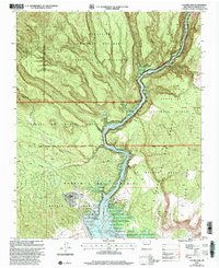
2002 Map of Cochiti Dam
USGS Topo · Published 2003About this map
Rio Grande waters dominate the central canyon corridor of this Sandoval County landscape, where the massive Cochiti Dam creates the reservoir of Cochiti Lake. This region is defined by complex land tenure and protected wilderness, encompassing the Pueblo de Cochiti Grant alongside the Bandalier National Monument and Santa Fe National Forest. The map documents a rugged topography of deeply incised canyons, including Capulin Canyon and Sanchez Canyon, which cut through the volcanic plateaus.
Find a feature on this map
46 named features on this map. Tap any name to fly to it.
Don’t see what you’re looking for? This feature index may not catch every label — zoom into the map to look around manually.
Map Details
Editions of this 2002 Cochiti Dam Map
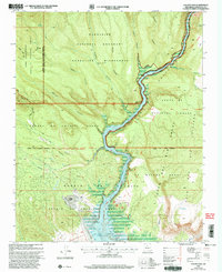
2 editions found
Other maps of this area

1892 · Santa Clara
USGS Topo · 1:125,000

1952 · White Rock
USGS Topo · 1:24,000

1952 · Frijoles
USGS Topo · 1:24,000

1952 · Montoso Peak
USGS Topo · 1:24,000

1953 · Cochiti Dam
USGS Topo · 1:24,000

1953 · Santo Domingo Pueblo
USGS Topo · 1:24,000

1953 · Bland
USGS Topo · 1:24,000

1953 · Tetilla Peak
USGS Topo · 1:24,000

1953 · Santo Domingo Pueblo SW
USGS Topo · 1:24,000

1953 · Canada
USGS Topo · 1:24,000