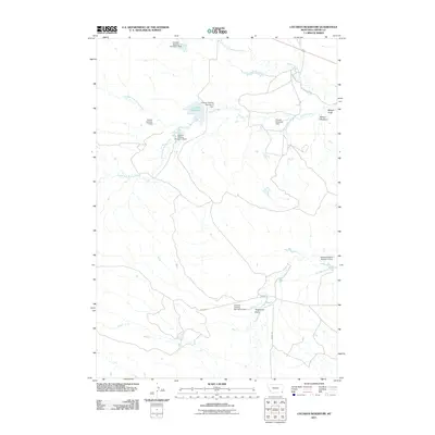
2011 Map of Cochran Reservoir
USGS Topo · Published 2011About this map
Cochran Reservoir anchors this landscape in eastern Montana, serving as a primary water source in a region defined by complex drainage systems and ranching infrastructure. The map reveals a high concentration of water management features, including several grazing and diversion dams that illustrate the area's agricultural history. Named landmarks such as the Cockran Grazing Number 2 Dam and Pilister Diversion Dam indicate a history of land use focused on livestock and irrigation. The terrain is deeply etched by various branches of Willow Creek, including its North, Middle, and South forks. Distinctive geological features like Nelson Draw, Nelson Washout, and Torgerson Draw provide insight into the natural erosion patterns of this prairie environment, while local routes like Ridge Rd and Lobban Rd trace the paths through the upland areas.
Find a feature on this map
18 named features on this map. Tap any name to fly to it.
Don’t see what you’re looking for? This feature index may not catch every label — zoom into the map to look around manually.
Map Details
Editions of this 2011 Cochran Reservoir Map
This is the sole edition of this map. No revisions or reprints were ever made.
Other maps of this area

1905 · Devils Tower
USGS Topo · 1:125,000

1954 · Ekalaka
USGS Topo · 1:250,000

1954 · Gillette
USGS Topo · 1:250,000

1955 · Gillette
USGS Topo · 1:250,000

1956 · Ekalaka
USGS Topo · 1:250,000

1957 · Seely
USGS Topo · 1:62,500

1957 · Cedar Ridge
USGS Topo · 1:62,500

1958 · Gillette
USGS Topo · 1:250,000

1958 · Ekalaka
USGS Topo · 1:250,000

1962 · Gillette
USGS Topo · 1:250,000