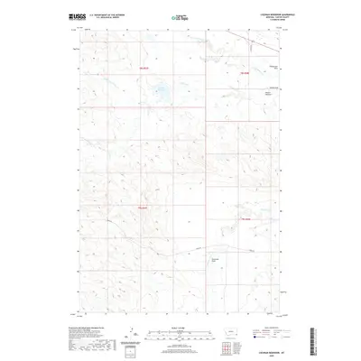
2020 Map of Cochran Reservoir
USGS Topo · Published 2020About this map
Cochran Reservoir sits at the center of this 2020 study of southeastern Montana, marking a vital water source in an area defined by complex drainage networks. The landscape is carved by the various branches of Willow Creek, including the N Fork Willow Cr, Middle Fork Willow Cr, and S Fork Willow Cr, which wind through the township boundaries of T8S and T9S. The presence of features like Nelson Washout and numerous named coulees suggests a terrain shaped by intermittent but powerful water action.
Find a feature on this map
16 named features on this map. Tap any name to fly to it.
Don’t see what you’re looking for? This feature index may not catch every label — zoom into the map to look around manually.
Map Details
Editions of this 2020 Cochran Reservoir Map
This is the sole edition of this map. No revisions or reprints were ever made.
Other maps of this area

1905 · Devils Tower
USGS Topo · 1:125,000

1954 · Ekalaka
USGS Topo · 1:250,000

1954 · Gillette
USGS Topo · 1:250,000

1955 · Gillette
USGS Topo · 1:250,000

1956 · Ekalaka
USGS Topo · 1:250,000

1957 · Seely
USGS Topo · 1:62,500

1957 · Cedar Ridge
USGS Topo · 1:62,500

1958 · Gillette
USGS Topo · 1:250,000

1958 · Ekalaka
USGS Topo · 1:250,000

1962 · Gillette
USGS Topo · 1:250,000