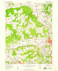
1957 Map of Cockeysville
USGS Topo · Published 1958About this map
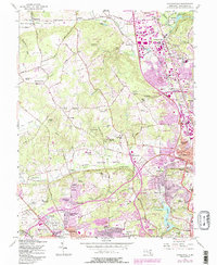
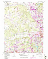
Green Spring Valley and Worthington Valley define the northern Baltimore County landscape in the late 1950s, a period marked by suburban expansion along major corridors. The industrial heritage of Texas and Cockeysville is evident in the numerous quarries and sand pits located near the Pennsylvania Railroad. This era shows a high concentration of institutional landmarks and recreational spaces, from the Sacred Heart Monastery and St Pauls Sch to the Five Farms Golf Course. Significant residential developments like Dumbarton and Lutherville are shown alongside the early footprint of the Baltimore Beltway. Water features such as the Loch Raven Reservoir and Jones Falls remain central to the region's geography, while specialized sites like the Masonic Home and the State Fairgrounds in Timonium anchor the community's social structure.
Find a feature on this map
101 named features on this map. Tap any name to fly to it.
Don’t see what you’re looking for? This feature index may not catch every label — zoom into the map to look around manually.
Map Details
Editions of this 1957 Cockeysville Map
6 editions found
Other maps of this area

1892 · Ellicott
USGS Topo · 1:62,500

1894 · Ellicott
USGS Topo · 1:62,500

1894 · Baltimore
USGS Topo · 1:62,500

1899 · Baltimore
USGS Topo · 1:62,500

1900 · Parkton
USGS Topo · 1:62,500

1902 · Parkton
USGS Topo · 1:62,500

1904 · Baltimore
USGS Topo · 1:62,500

1905 · Westminster
USGS Topo · 1:62,500

1906 · Ellicott
USGS Topo · 1:62,500

1908 · Patapsco
USGS Topo · 1:125,000