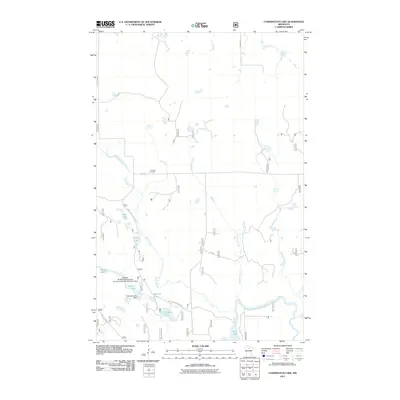
2011 Map of Coddington Lake
USGS Topo · Published 2011About this map
Grattan Cemetery stands as a focal point for local history in this portion of Itasca County, situated near the headwaters of Moose Brook. The landscape is defined by its complex hydrology, where the Big Fork River meanders through the southern reaches near Dora Lake. This 2011 survey documents a highly managed water system, specifically noting the Dishpan Area Impoundment Number 2 Dam and the Dishpan Lake Dam, which regulate the levels of Dishpan Lake.
Find a feature on this map
16 named features on this map. Tap any name to fly to it.
Don’t see what you’re looking for? This feature index may not catch every label — zoom into the map to look around manually.
Map Details
Editions of this 2011 Coddington Lake Map
This is the sole edition of this map. No revisions or reprints were ever made.
Other maps of this area

1918 · Zora
USGS Topo · 1:62,500

1919 · Zora
USGS Topo · 1:62,500

1919 · Gemmell
USGS Topo · 1:62,500

1919 · Max
USGS Topo · 1:62,500

1954 · Bemidji
USGS Topo · 1:250,000

1954 · Hibbing
USGS Topo · 1:250,000

1957 · Bemidji
USGS Topo · 1:250,000

1957 · Hibbing
USGS Topo · 1:250,000

1958 · Bemidji
USGS Topo · 1:250,000

1958 · Hibbing
USGS Topo · 1:250,000