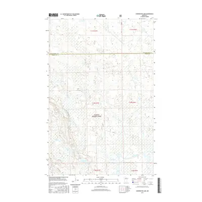
2016 Map of Coddington Lake
USGS Topo · Published 2016About this map
The Chippewa National Forest dominates this Northern Minnesota landscape, which is defined by an intricate network of wetlands and glacial lakes. Centered on the namesake Coddington Lake, the terrain includes specialized features such as the Wildlife Marsh and the distinctive Dishpan Lake. The Big Fork River flows through the southeastern portion of the map, fed by smaller tributaries like Moose Brook and Hay Cr.
Find a feature on this map
23 named features on this map. Tap any name to fly to it.
Don’t see what you’re looking for? This feature index may not catch every label — zoom into the map to look around manually.
Map Details
Editions of this 2016 Coddington Lake Map
This is the sole edition of this map. No revisions or reprints were ever made.
Other maps of this area

1918 · Zora
USGS Topo · 1:62,500

1919 · Zora
USGS Topo · 1:62,500

1919 · Gemmell
USGS Topo · 1:62,500

1919 · Max
USGS Topo · 1:62,500

1954 · Bemidji
USGS Topo · 1:250,000

1954 · Hibbing
USGS Topo · 1:250,000

1957 · Bemidji
USGS Topo · 1:250,000

1957 · Hibbing
USGS Topo · 1:250,000

1958 · Bemidji
USGS Topo · 1:250,000

1958 · Hibbing
USGS Topo · 1:250,000