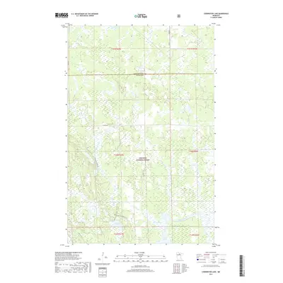
2019 Map of Coddington Lake
USGS Topo · Published 2019About this map
Chippewa National Forest dominates this northern landscape, where the boundary between Koochiching and Itasca counties cuts through a dense network of wetlands and small glacial lakes. The terrain is defined by its water system, ranging from the winding Big Fork River in the south to smaller bodies like Mitt Lake, Glove Lake, and Coddington Lake. A notable point of historical interest is the Lost 40 Hiking Interp Tr, a name that hints at the surveying errors that preserved a rare pocket of old-growth timber from early logging eras.
Find a feature on this map
24 named features on this map. Tap any name to fly to it.
Don’t see what you’re looking for? This feature index may not catch every label — zoom into the map to look around manually.
Map Details
Editions of this 2019 Coddington Lake Map
This is the sole edition of this map. No revisions or reprints were ever made.
Other maps of this area

1918 · Zora
USGS Topo · 1:62,500

1919 · Zora
USGS Topo · 1:62,500

1919 · Gemmell
USGS Topo · 1:62,500

1919 · Max
USGS Topo · 1:62,500

1954 · Bemidji
USGS Topo · 1:250,000

1954 · Hibbing
USGS Topo · 1:250,000

1957 · Bemidji
USGS Topo · 1:250,000

1957 · Hibbing
USGS Topo · 1:250,000

1958 · Bemidji
USGS Topo · 1:250,000

1958 · Hibbing
USGS Topo · 1:250,000