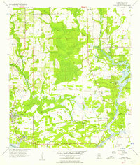
1956 Map of Coden
USGS Topo · Published 1957About this map
The coastal seafood and gardening traditions of Mobile County are evident in this mid-1950s survey of the Alabama shoreline. Bayou La Batre serves as a primary hub for maritime activity, while the famous Bellingrath Gardens are established along the banks of the Fowl River. The map shows a landscape defined by tidewater bayous and marshlands, including Bayou Jonas, Bayou Sullivan, and Bayou Como, all feeding into Portersville Bay. An Old Railroad Grade indicates changing transportation patterns in the region, formerly connecting remote coastal settlements like Coden and Delchamps to the interior. Interior life is centered around local institutions such as St Pauls Ch, Dixon Sch, and the community of Laurendine. The eastern edge of the map features Mon Louis Island, separated from the mainland by the narrow passage known simply as The Narrows.
Find a feature on this map
34 named features on this map. Tap any name to fly to it.
Don’t see what you’re looking for? This feature index may not catch every label — zoom into the map to look around manually.
Map Details
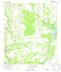
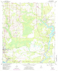
Editions of this 1956 Coden Map
3 editions found
Other maps of this area

1921 · Grand Bay
USGS Topo · 1:62,500

1921 · Delchamps
USGS Topo · 1:62,500

1922 · Mobile
USGS Topo · 1:62,500

1940 · Hollingers Island
USGS Topo · 1:31,680

1940 · Mobile
USGS Topo · 1:62,500

1941 · Cedar Point
USGS Topo · 1:62,500

1941 · Hurley
USGS Topo · 1:62,500

1942 · Theodore
USGS Topo · 1:31,680

1943 · Cedar Point
USGS Topo · 1:62,500

1943 · Theodore
USGS Topo · 1:31,680