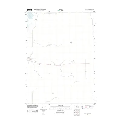
2011 Map of Cody East
USGS Topo · Published 2011About this map
The Cody settlement and its surrounding rangelands define this 2011 survey, centered on the Nebraska-South Dakota border. Located near the northern edge of the Nebraska Sandhills, the community is anchored by the Cody Post Office and local thoroughfares like Cherry St and E Nebraska Ave. The landscape is a mix of water and wide-open grazing land, featuring Cody Lake and the winding course of Hay Creek.
Find a feature on this map
13 named features on this map. Tap any name to fly to it.
Don’t see what you’re looking for? This feature index may not catch every label — zoom into the map to look around manually.
Map Details
Editions of this 2011 Cody East Map
This is the sole edition of this map. No revisions or reprints were ever made.
Other maps of this area

1950 · Cody
USGS Topo · 1:62,500

1952 · Eli
USGS Topo · 1:62,500

1955 · Martin
USGS Topo · 1:250,000

1957 · Valentine
USGS Topo · 1:250,000

1958 · Martin
USGS Topo · 1:250,000

1959 · Valentine
USGS Topo · 1:250,000

1969 · Spring Creek SW
USGS Topo · 1:24,000

1969 · Spring Creek
USGS Topo · 1:24,000

1981 · Scotchman Lake
USGS Topo · 1:25,000

1983 · Martin
USGS Topo · 1:100,000