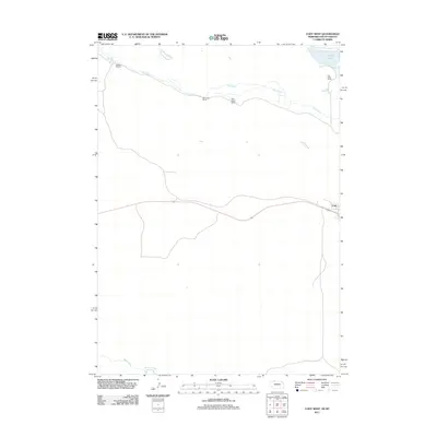
2011 Map of Cody West
USGS Topo · Published 2011About this map
Cody serves as the primary settlement on this Nebraska-South Dakota borderlands map, which highlights a landscape defined by ranching and waterway networks. The northern portion of the region is dominated by established cattle operations, including the Triangle B Ranch, Hay Creek Ranch, Duck Brand Ranch, and Hay Valley Ranch, all situated along the winding course of Hay Creek. To the northeast, Cody Lake provides a localized water source in this semi-arid terrain. The southern edge of the quadrangle reaches the Niobrara River, where Bear Creek joins the larger drainage system. This survey illustrates the traditional land-use patterns of the High Plains, where human settlement and agricultural infrastructure follow the natural breaks and valleys carved by these vital watercourses.
Find a feature on this map
9 named features on this map. Tap any name to fly to it.
Don’t see what you’re looking for? This feature index may not catch every label — zoom into the map to look around manually.
Map Details
Editions of this 2011 Cody West Map
This is the sole edition of this map. No revisions or reprints were ever made.
Other maps of this area

1950 · Cody
USGS Topo · 1:62,500

1952 · Eli
USGS Topo · 1:62,500

1955 · Martin
USGS Topo · 1:250,000

1957 · Valentine
USGS Topo · 1:250,000

1958 · Martin
USGS Topo · 1:250,000

1959 · Valentine
USGS Topo · 1:250,000

1969 · Spring Creek SW
USGS Topo · 1:24,000

1981 · Scotchman Lake
USGS Topo · 1:25,000

1983 · Martin
USGS Topo · 1:100,000

1985 · Eli SE
USGS Topo · 1:24,000