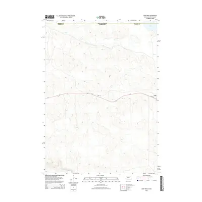
2014 Map of Cody West
USGS Topo · Published 2014About this map
The settlement of Cody sits at the eastern edge of this landscape, marking a transition between the Nebraska Sandhills and the South Dakota borderlands. Running through the heart of the region is the Cowboy Trl, a long-distance trail following an old rail corridor alongside Us-20. The terrain is defined by the drainage patterns of Hay Cr in the north and Bear Cr to the south, which carve through the distinctive topography of Cherry County and Bennett County. Near the northern boundary, Cody Lake provides a rare concentrated water source in an area otherwise characterized by ephemeral creek beds and rolling sand dunes. This map documents the sparse infrastructure and natural water features that have historically shaped ranching and travel along the South Dakota and Nebraska state line.
Find a feature on this map
8 named features on this map. Tap any name to fly to it.
Don’t see what you’re looking for? This feature index may not catch every label — zoom into the map to look around manually.
Map Details
Editions of this 2014 Cody West Map
This is the sole edition of this map. No revisions or reprints were ever made.
Other maps of this area

1950 · Cody
USGS Topo · 1:62,500

1952 · Eli
USGS Topo · 1:62,500

1955 · Martin
USGS Topo · 1:250,000

1957 · Valentine
USGS Topo · 1:250,000

1958 · Martin
USGS Topo · 1:250,000

1959 · Valentine
USGS Topo · 1:250,000

1969 · Spring Creek SW
USGS Topo · 1:24,000

1981 · Scotchman Lake
USGS Topo · 1:25,000

1983 · Martin
USGS Topo · 1:100,000

1985 · Eli SE
USGS Topo · 1:24,000